Services
Survey Data Solutions’ licensed land surveyors offer these Florida survey services.
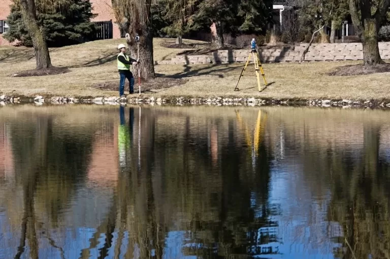
Professional Surveyors

A professional surveyor and mapper is essential in constructing and developing residential and commercial projects. These land survey professionals expertly document every aspect of the project, from boundary surveys and topographical mapping to plotting the shape and expected usage of a tract of land. A certified survey is always required for a real estate transaction or exchange. It is time to hire a surveyor when an existing survey leaves questions about usage, access, or feasibility.
A new accurate land survey is ordered for All New Construction Projects or when inspections cite Potential Building Issues.
Here are some examples of when owners, financial agents, or insurers will ask for an updated professional survey.
ALTA / NSPS Surveys
Boundary Disputes
Building Additions or Modification
Commercial Development
Condominium or Office Building Development
Court Exhibit Land and Property Suits
Disaster Land Analysis
Elevation and Flood Potential Analysis
Encroachment Issues
Government and Public Land Boundaries
Sink Hole and Terrain Survey
Utility Lines Locator
The Most Common Survey Requests in Florida.

Boundary Surveys (Right of Way)
Boundary surveys identify the physical property line. An accurate boundary survey documents usage and access rights for all adjacent properties. An accurate boundary survey is a requirement for a loan or refinancing. The standard boundary survey is a Cadastral survey. These originated with the US Government Land Ordinance of 1785. Cadastral documents are used to show the boundary lines of both privately owned real estate and public land.
ALTA Survey
The American Land Title Association (ALTA) identifies a survey that meets the standards outlined by this professional association. The data required for ALTA surveys includes boundary lines, location of the main structure including all additions and improvements, location of any ancillary buildings, the identification of access rights by service companies — electric, telephone, gas, water, cable, and local government representatives.

Construction Layout and Platting Survey
Essential when building and planning large-scale construction. This survey may include topographic elevation information, including the land composition under the property and an evaluation of whether it is structurally sound. This survey will also include the promised right-of-way access and easements, streams and water bodies, and any existing structures or buildings adjoined to the property.
Elevation Certificates
Elevation Certificates are required whenever a tract is in or near a flood zone. Insurance carriers may require an elevation survey before underwriting a policy in Florida. Insurance and mortgage companies may request these documents as Flood Elevation Insurance Certificates, Florida Elevation Land Surveying, Florida FEMA Flood Certificates, and Florida FEMA Flood Insurance Surveys.

As-Built Survey
An as-built survey verifies to local and state boards that work is being completed to the specifications set out during a project’s planning, zoning, and design stages. It demonstrates the project conforms to all zoning regulations and requirements. As-build surveys may be required for road construction, residential and commercial construction.

Improvement Survey
Improvement location surveys depict property modifications being proposed for future construction or, when necessary, to document recently completed improvements to a property. An improvement survey shows that construction remains within the property’s boundary lines and does not infringe on easements or the right-of-way. Local zoning authorities or mortgage companies typically require this survey.
Mortgage Survey
A mortgage survey is used by title and mortgage companies to establish which buildings and structures exist on the land. This survey will also determine whether your property is encroaching on a neighboring plot or if a neighbor’s fence or building is encroaching on your land.

Sub-Division Planning Survey
A sub-division survey provides developers with a project’s complete view of the physical parameters, including right-of-ways and easements, water bodies, and obstructions (trees, cliffs, existing structures).
