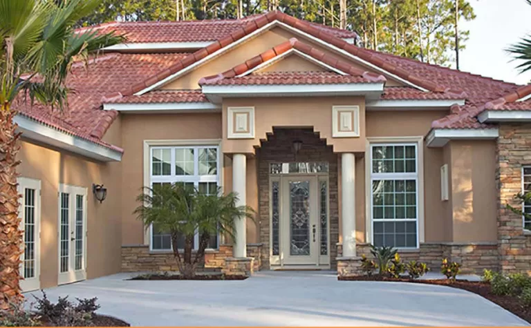
10 Reasons to Get a Residential Boundary Survey
A professional residential boundary survey is a valuable tool in avoiding legal disputes and potentially hard feelings between neighbors. It doesn’t matter if you’re building a new home here in Florida, buying an existing property, or building your dream home on a vacant piece of land. Getting that professional survey updated creates better neighbor relations in the long run.
1. Identify Boundary/Property Lines
The most common reason Florida homeowners seek a licensed surveyor is to mark, reaffirm, and settle boundary disputes. Proof of the legal boundaries of a property is critical before you plan to build an addition or erect a fence or wall. We are often contacted to settle issues when a new neighbor questions the placement of a neighboring drive or a fence obstructing access to their driveway or lakefront. An accurate boundary line certification eliminates future issues and tells you if the legal description of your property is accurate.
2. Review Overlaps and Gaps
A survey documents that there are no discrepancies between adjoining properties. This is especially pertinent when properties share alleys, driveways, roads, or adjoining water usage rights.
3. Clarify Right-of-Way, Easements, and Abandoned Roads
Your survey includes any legal conditions imposed by law that are or were part of the property’s sale. Occasionally, an old agreement, an “easement,” is part of the public record. For example, it may provide access to your property for utility companies to cross your land to provide access to electricity, water, internet, and other shared services. An example would be if the sale of a plot behind your house were granted permission to utilize a shared drive to get to a public road.
4. Marking Ponds, Rivers, Creeks, Streams, Wells, and Lakes
Old surveys used surface waters as markers and dividers. Those creeks and streams move or even dry up over generations, and the true boundaries are no longer visible from those landmarks. This can lead to ownership discrepancies when families attempt to sell or subdivide land generations later.
5. Driveways, Party Walls, Rights-of-Support, Encroachments, Overhangs, or Projections
You may have an obligation by law to support your neighbor’s property by maintaining your own. Neighboring driveways or concurrent seawalls can lead to boundary disputes and arguments over who is responsible for a repair.
6. Chart Existing Improvements and Structures
A land survey certifies that buildings, fences, walls, and all other alterations to the property comply with laws and restrictions in the public records. These common residential restrictions can include height, bulk, dimension, frontage, setbacks, parking, and building.
7. Utilities: water, electric, telephone, cables, manhole covers, poles
Poles, junction boxes, cables, and wires that bring services to a property and all surrounding properties exist in all established areas. A utility location survey documents existing underground cables and services. An updated boundary survey can document permission given to a utility company to use a portion of the property for the upkeep of utilities and may have a say in how tall your trees can grow and whether a fence can exclude access to telephone or electric poles. Knowing existing utilities before construction is critical to maintaining common services in the area.
8. Avoid Burial Grounds (Cemeteries)
Checking and verifying the existence of old family burial grounds or cemetery plots is important if you are subdividing a generational farm or grove. A land and boundary survey will chart known cemetery spaces on a family homestead.
9. Flood Plain Classification
Securing an elevation survey and flood plain classification can help you secure homeowners insurance. It will also be a valuable certification in a natural disaster where flood classification is in dispute.
10. Zoning Classification
You may be surprised to discover that zoning classification puts specific restrictions on how you use your property. Specific zoning codes may prevent running a business out of your home or even renting your home on a short-term or long-term basis.